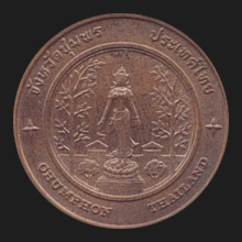
|
Chumphon (ชุมพร)
The small capital of Chumphon province (map)
with just around 15,000 inhabitants, situated on the peninsular east
coast near the Gulf of Thailand, 463 kms South of
Bangkok. Chumphon is the most northern province of the
South Thailand region (map)
and here the one road from the North to the South forks to Ranong
and Surat Thani. Chumphon's name is probably derived from its
location at this crossroad, a meeting place or place were ‘gather’,
as
chumphon
(with a slightly different spelling in Thai) means ‘gathering of troops’, a
reference also to the presence of an earlier army camp in town where
warriors from the region gathered before going into battle,
as the area was a frontier city in the wars against Burma. Another source suggest the name
might come from the Ficus glomerata, a local fig tree found abundant
in the province and in Thai called
madeua
chumphon.
This province has eight
amphur, 70
tambon and 674 villages or
mu ban.
Among the places of interest is the
Prince of Chumphon
Shrine and Battle Ship Museum (map
-
fig.).
See also
Chumphon data file.
回


|

